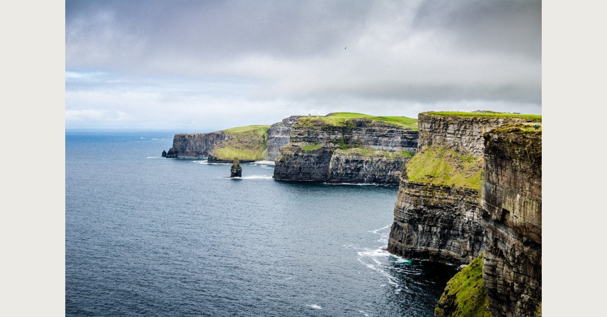
Drive the Copper Coast on a clear morning, with the Atlantic below you and the light coming off the water, and you will understand immediately why UNESCO gave it Geopark status. This is one of the wildest and least-visited stretches of coastline in Ireland — volcanic, ancient, visually spectacular, and largely untouched by the kind of tourism infrastructure that softens the edges of better-known coastal routes. Between Tramore and Dungarvan, the R675 follows the cliff top through a sequence of rock faces, hidden beaches and tiny coastal villages that most visitors never find.
Why a UNESCO Geopark?
The Copper Coast earned its UNESCO designation because of the extraordinary geological story written into its cliffs. The rocks exposed along this coastline are among the oldest in Ireland, formed by volcanic activity and tectonic movement over a period stretching from 460 to 360 million years ago. You can see the evidence in the cliff faces — layers of volcanic ash, lava flows, folded and faulted rock that records events so far back in time they precede the existence of land plants. The Geopark has a visitor centre in Bunmahon that explains the geology accessibly, and guided geology walks are available for those who want to go deeper.
The Copper Mining Heritage
The coastline takes its name from the copper mines that operated here from the Bronze Age through to the 19th century. The Bunmahon mining complex, active from the 1820s to the 1870s, was one of the most significant copper mining operations in Ireland, employing thousands of workers at its peak and leaving a landscape of engine houses, mine shafts and spoil heaps that are now a distinct and atmospheric part of the scenery. The ruins at Bunmahon are accessible and well-signed; they give the coast a distinctive industrial character that sits in striking contrast to its natural wildness.
Where to Stop
Bunmahon is the main village and the best base for exploring the coast — the beach here is excellent and the cliff walk west toward Annestown offers stunning views. Stradbally Cove is one of the quietest and most beautiful small beaches in Waterford, reached by a short walk down a lane; the water is clear and the cove is sheltered. Kilfarrasy Beach is a long strand at the eastern end of the Geopark, popular with locals and rarely overcrowded. Annestown has a fine beach and a pub that has been serving the farming and fishing community here for generations.
Practical Information
The Copper Coast Geopark runs along the R675 between Tramore and Dungarvan — roughly 25 km as the road goes, though the actual coastline is considerably more irregular. Allow a full day to do it properly, with stops. The Geopark Discovery Centre in Bunmahon has maps, information and a small exhibition; it is an excellent starting point. The coast is at its most dramatic in autumn and winter, when Atlantic swells crash against the cliff faces and the mining ruins emerge from summer vegetation. Swimming is possible at the beaches mentioned above, though conditions vary and there are no lifeguards at most locations.
The Copper Coast features in our guide to the Top 15 Things to Do in Waterford.